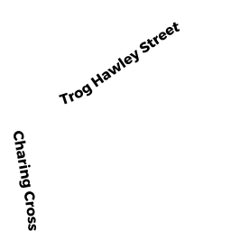
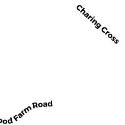
0 REAR CHARING CROSS
Owner Information
LYNNFIELD TOWN OF
TOWN HALL
LYNNFIELD, MA 01940


Property Details
0 REAR CHARING CROSS is classified as a (formerly Municipalities/Districts. Removed June 2009.).
0 REAR CHARING CROSS is valued at $133,300. The land is valued at $133,300 and the structures are valued at $0.
This property is in Zone RC. Confirm with local Zoning Board authorities to ensure there are no overlays or other easements on this property.
The most recent deed for 0 REAR CHARING CROSS is recorded at the local registrar in Book 10098, Page 67. 0 REAR CHARING CROSS was last sold on Thursday, August 3, 1989 for $1.
Assessment data from fiscal year 2022.
Flood Data
This property is partially within the AE Zone (within floodplain). Approximately 0.89 acres (46.75%) of the property is within this zone.
This information is sourced from the FEMA National Flood Hazard Layer. See our full disclamer.
Broadband Internet Providers
| Provider | Type | Bandwidth (mbps) | |
|---|---|---|---|
| VSAT Systems, LLC. | Satellite | 2 | 1 |
| Viasat Inc | Satellite | 100 | 3 |
| Verizon New England Inc. | DSL | 10 | 1 |
| Verizon New England Inc. | Fiber | 940 | 880 |
| Comcast | Cable | 1000 | 35 |
| T-Mobile | Fixed Wireless | 25 | 3 |
| GCI Communication Corp. | Satellite | 0 | 0 |
| HughesNet | Satellite | 25 | 3 |
Broadband service provider data from December 2020.
Adjacent Properties
- 9 CHARING CROSS
Single Family Residential owned by LAMARCHE AMY W - 11 CHARING CROSS
Single Family Residential owned by SANNELLA VIRGINIA - 8 BRIDLE PATH
Single Family Residential owned by BRIDLE DEVELOPMENT LLC - 0 REAR TROG HAWLEY
(formerly Municipalities/Districts. Removed June 2009.) owned by CONSERVATION COMM